
Outdoors
Riverwalk and Lake Wylie: Different Water Settings
One is a moving river with a public trail. The other is a reservoir with private shoreline.
Published September 14, 2026
Why it matters
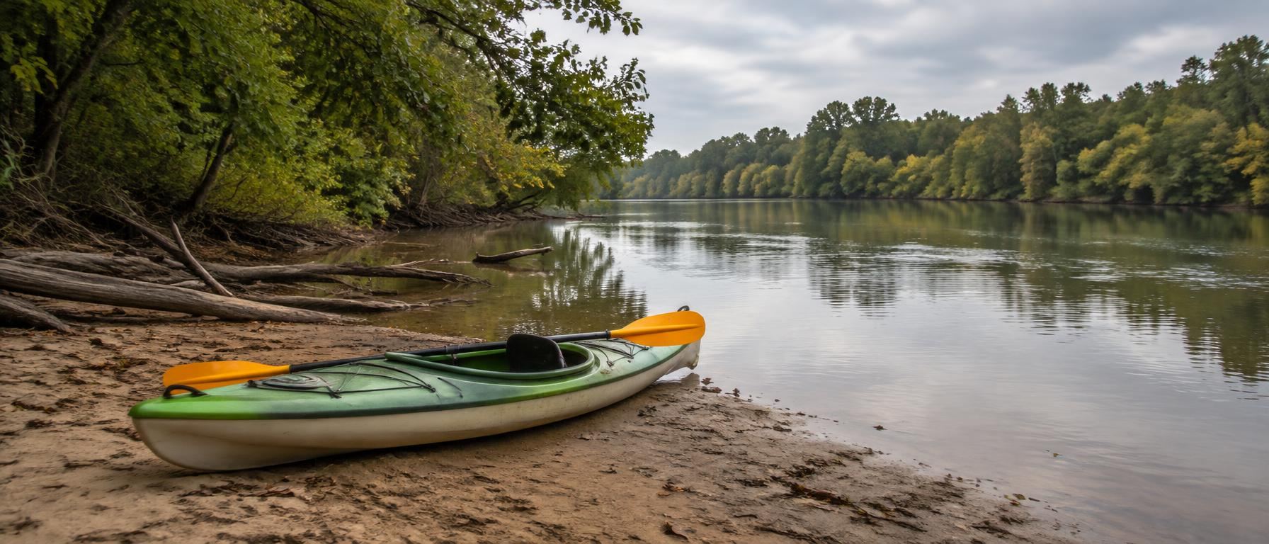
Flow, flooding, dock rules, and public access all differ. Photos of one should never be labeled as the other.
Are Riverwalk and Lake Wylie the Same?
No. Riverwalk is a Catawba River setting in Rock Hill with public trail access; Lake Wylie is a reservoir setting where shoreline and dock questions are usually private, parcel-specific, and jurisdiction-specific.
That distinction changes the research. For Riverwalk, focus on trail access, HOA rules, floodplain questions, and whether a home is merely near the river or actually touches it. For Lake Wylie, focus on the survey, shoreline rules, dock permits, water depth, and whether a Rock Hill mailing address is inside city limits or in unincorporated York County.
How Flow Changes the Research
The Catawba River at Riverwalk is a moving-water setting below the Lake Wylie dam, with trail conditions and river edges that can be affected by seasonal flow changes and heavy rain. That does not make it better or worse than the lake; it means the due diligence is different.
A reservoir shoreline raises a different set of questions. Buyers should not assume that a calm-looking photo answers anything about permitted docks, water depth, lot boundaries, or who controls changes near the water. Treat the water type as the starting point for every other question.
- Confirm whether the water is river or reservoir.
- Check conditions after heavy rain before trail visits.
- Ask if the parcel touches the water.
- Review floodplain status before making plans.
- Look for buffers or conservation easements.
- Verify that photos are labeled correctly.
Public Trail Access at Riverwalk in Rock Hill, SC
Riverwalk is known for public recreation along the Catawba River, but public trail access is not the same as private river frontage. Many homes may be near the trail without owning land on the bank. A short walk to the trail can be a major lifestyle feature, yet it should be described accurately.
Before comparing homes, walk the actual route from the address to the nearest public access point and separate public spaces from private residential amenities. The trail and the Giordana Velodrome are visible public draws; residential pools, amenity centers, and HOA-controlled spaces are generally a separate matter.
Lake Wylie Shoreline Questions for Buyers
On Lake Wylie, waterfront is a legal and physical condition, not a marketing adjective. A home can have a Rock Hill mailing address, sit near the lake, or show water in photos without being inside Rock Hill city limits or owning shoreline.
Start with documents rather than descriptions. A survey, plat, HOA materials, and dock records can reveal whether the lot touches the water, whether common area sits between the house and shoreline, and whether an existing dock has the approval a buyer expects.
- Ask for the survey or plat.
- Confirm lot boundary relative to shoreline.
- Verify any existing dock permit.
- Ask whether dock approval transfers.
- Review HOA rules on docks and boats.
- Ask about water depth across seasons.
Jurisdiction Comes Before Lifestyle Claims
For Rock Hill, SC water research, jurisdiction is not a footnote. Municipal boundaries affect taxes, utilities, police, sanitation, zoning, and permitting review. A Rock Hill mailing address can be inside the City of Rock Hill or in unincorporated York County, and water proximity does not settle that question.
This matters on both sides of the comparison. Riverwalk research should still confirm the specific address, HOA, utilities, and school assignment. Lake Wylie research should be especially careful because much of the South Carolina shoreline is outside Rock Hill city limits.
- Search the parcel through York County GIS.
- Confirm city limits with the City of Rock Hill.
- Look for a city millage line on the tax bill.
- Ask who provides each utility.
- Confirm school assignment by exact address.
- Read all HOA covenants before offering.
How to Match Recreation to the Setting
If the goal is everyday public outdoor access, Riverwalk and the Catawba River trail may be the more relevant research path. The questions are practical: where is the access point, what route would you actually use, what is public, and what rules apply to the trail or nearby facilities?
If the goal is private shoreline living, Lake Wylie research becomes more document-heavy. The experience may depend on shoreline rights, dock status, HOA rules, and the physical condition of the water’s edge. A local real estate agent can help organize the questions, but the answers still need to come from official records and governing documents.
Listing Language That Should Raise Questions
Words matter when comparing these water settings. “Near the river trail” is not the same as “riverfront.” “Lake-adjacent” is not the same as “waterfront.” “Dock shown in photos” is not the same as “permitted dock that transfers with the property.”
Sellers should describe the setting precisely, and buyers should ask for proof before relying on a phrase. Accurate language protects expectations and helps everyone compare homes on the same terms: public trail access, private shoreline, HOA amenities, jurisdiction, and documented rights.
- Ask what “waterfront” means for that parcel.
- Request documents behind any dock claim.
- Distinguish public access from private amenities.
- Confirm whether shoreline is owned or common area.
- Avoid relying on cropped water photos.